Parcel Hierarchy at Embassy Riverine — Why Villas Sit at the Township Core
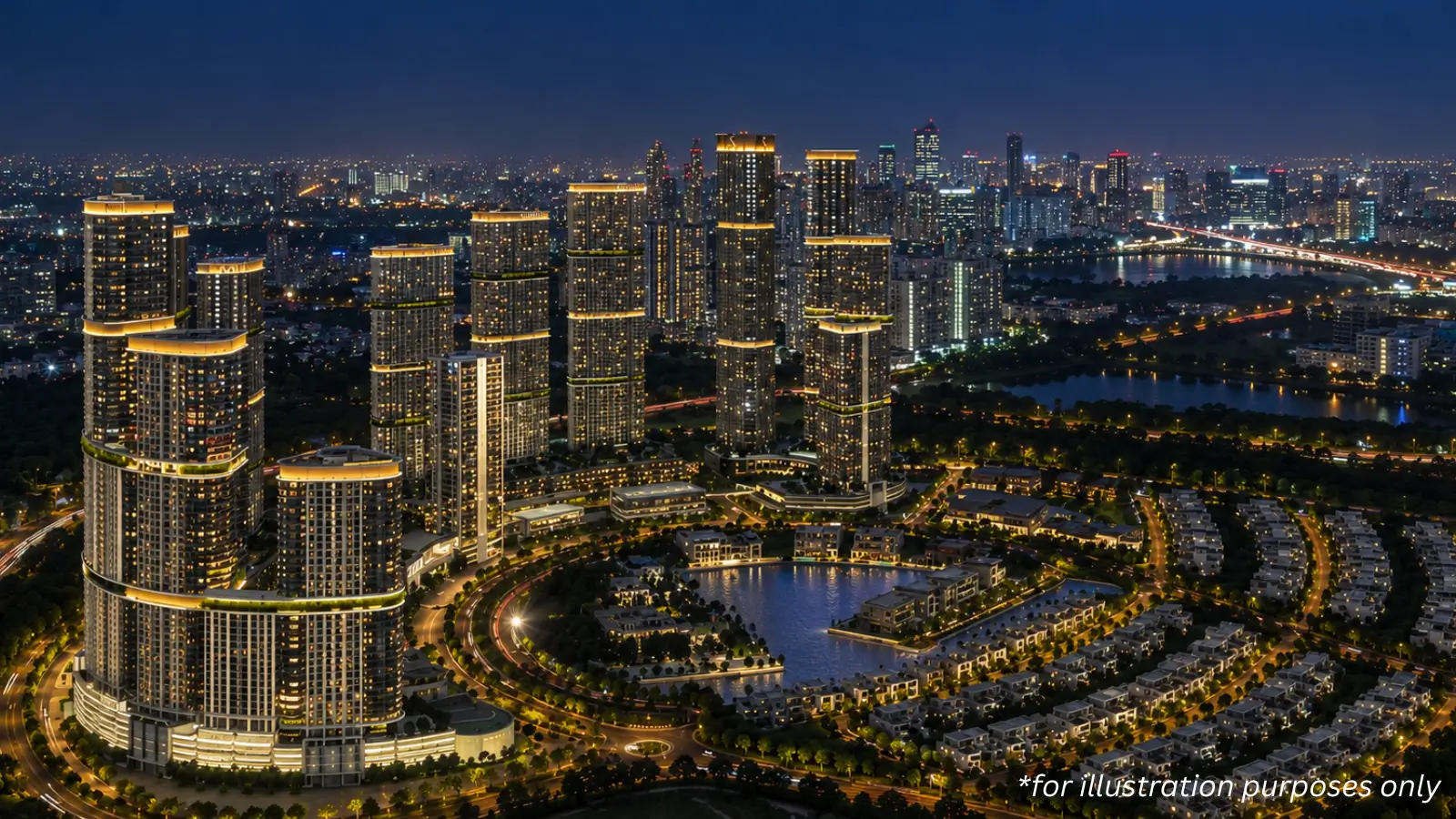
Four parcels make up the township and the order they sit in determines how quiet a villa street stays over decades, which is the part of a master plan...
Four parcels make up the township at Embassy Riverine, and the order they sit in determines how quiet a villa street stays across decades. Villas take 50 acres at the protected core. A 14-acre apartment parcel occupies the perimeter and works as a buffer against the corridor. Grade A workspace sits toward the township gates. Reserved landscape threads between them. Read as a sequence rather than a list, that ordering is the most consequential decision on the drawing.
Logic runs from highest activity to lowest as you move inward. Workspace generates weekday traffic in concentrated peaks, so it sits nearest the arterial where that traffic can disperse without crossing residential streets. Apartments generate steadier movement across more hours, so they sit next. Villas generate the least, so they sit deepest. Many townships phase parcels the other way, releasing the interior first because it sells faster, and discover the consequence only once the commercial component opens.
Circulation reinforces the hierarchy rather than undermining it. An 80-foot spine carries township movement with villa streets branching off it, so through-traffic never runs down a residential street. Villa-owner gate infrastructure stays separate from apartment circulation, and service and delivery routing is controlled independently. Separation of that kind has to be drawn from the outset; after handover it becomes practically impossible to arrange, because the roads and gates already exist.
The buffer parcel deserves particular attention because it is the element buyers most often overlook. A perimeter parcel absorbs corridor noise, headlight spill and the visual edge of the highway on behalf of everything behind it. Villas therefore get NH 44 access without homes sitting against the highway edge, which is a materially different proposition from a villa colony fronting an arterial directly. Ask what sits between your plot and the road, and if the answer is nothing, price that.
Scale within the core is worth calculating. Total plot area across all 218 homes comes to roughly 17.6 acres of the 50-acre villa parcel, which means the majority of the enclave is street, setback and landscape rather than private plot. That ratio is what produces the street width and setback depth the density figure implies, and it is checkable arithmetic rather than a claim.
One caveat on all of the above. Parcel boundaries and the layout described here come from pre-launch planning and remain indicative until Karnataka RERA registration completes. Once the sanctioned plan is published on the state portal, cross-check it against the marketed drawing with specific attention to villa positioning, road widths and the reserved open-space allocation. Those three items are where marketed and sanctioned plans most commonly diverge, and they are exactly the three you cannot fix later.
Related reading: the Embassy Riverine master plan guide.
FAQs
How is the township divided?
Villas occupy 50 acres at the protected core, a 14-acre apartment parcel sits on the perimeter as a corridor buffer, Grade A workspace sits toward the gates, and 19 acres of reserved landscape thread the residential precinct.Does traffic from the commercial precinct pass the villas?
No. Workspace sits nearest the arterial so its traffic disperses without crossing residential streets, and an 80-foot spine carries township circulation with villa streets branching off it. Villa-owner gates are separate from apartment circulation.How much of the 50-acre villa parcel is private plot?
Total plot area across all 218 homes comes to roughly 17.6 acres, so the majority of the enclave is street, setback and landscape rather than private plot. That ratio is what produces the street width and setback depth.
Related Articles
Embassy Riverine Villas vs MAIA The Seven: Which Bengaluru Suits You?
Embassy Riverine Villas vs MAIA The Seven: compare North and South Bengaluru luxury homes on location, size, price, density, approvals and possession.
Embassy Riverine Villas vs Century Immencity: Villa Land or Vertical Living?
Compare Embassy Riverine Villas vs Century Immencity on price, density, size, location, airport access, RERA status and possession.
Embassy Riverine Villas vs MAIA Mansion: Villa Enclave or Bespoke Mansion?
Embassy Riverine Villas vs MAIA Mansion: compare two North Bengaluru luxury communities on scale, density, home sizes, pricing, customisation and documentation.
Embassy Riverine Villas vs Embassy Greenshore: Villa Enclave or Lakefront Tower?
Embassy Riverine Villas vs Embassy Greenshore: compare two Embassy township projects on villa versus apartment living, pricing, density, location, RERA and possession.